There are many trails that lead to Mount Le Conte, the sixth highest east of the Mississippi. Alum Cave Trail is the most scenic and steepest of the trails leading up to the 6,593 foot peak. The trail claims it's about 5 miles to the peak, but my GPS had registered six shortly before I saw the Mt. Le Conte Lodge.
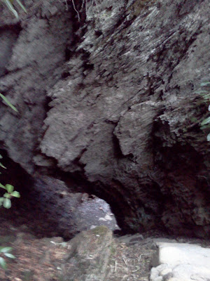
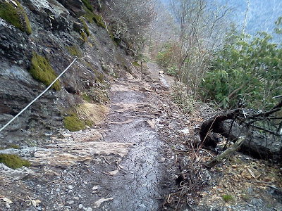
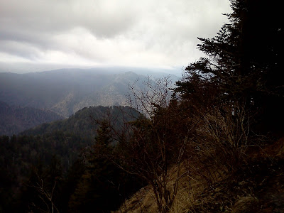
On the way up Le Conte, hikers minds are quickly taken off the steepness of the climb in exchange for many beautiful landmarks, like Arch Rock, which is a narrow natural arch you hike into, Alum Cave and bluffs, which isn't exactly a cave but a rock shelter, and numerous panoramic views of the Great Smoky Mountains. However, if you have clumsy feet or are afraid of heights, this trail might not be for you, since there are a series of narrow passages dangerous enough for the park service to install cables to serve as hand rails.

At the top of the mountain is Mt. Le Conte Lodge, which is a private operated lodge near the high point of the mountain. It opens today, and they were working on getting it ready as I passed through. I asked the woman who was busy cleaning how do they get their supplies up the mountain, since there didn't appear to be any cable cars like I have seen on other mountains. She said they did a helicopter drop earlier in the week and llamas serve them throughout the season.
The lodge season opens in March and ends in October. There are many cabins on the top of the mountain to stay in, and she said it costs about $125 a night to stay, and that you need to make reservations when the new season begins booking in October.
They have a dining hall, restrooms, and a store at the top. I definitely want to spend a night up there.
I hit the trail as soon as the sun came up. As I was driving up Newfound Gap Road (US 441) it was still dark outside. There was a chance of rain yesterday in Tennessee, so I knew I better get up and down quickly if I was going to get this in. I started about 7:30 AM and was at the summit just before 11:00 AM. As I climbed the winds began picking up and the famous smoky clouds began to race across the mountains. The temperature began to drop, which worried me a little since I packed light. However, it did start to warm and clear up on my descent.
 |
| Woke up early to get to the trail. |
 |
| The bridges are fun to cross. |
 |
| Arch Rock |
 |
| Arch Rock |
 |
| Arch Rock (very steep stairs) |
 |
| Clouds coming in. |
 |
| Alum Cave Bluff |
 |
The National Park Service has used cables for guard rails at
dangerous sections. |
 |
| Dangerous section, especially when wet. |
 |
| The cliffs at the top of Mount Le Conte |
 |
| The valley is about a mile deep. |
 |
| Mt. Le Conte Lodge |
 |
| The dining hall below |
 |
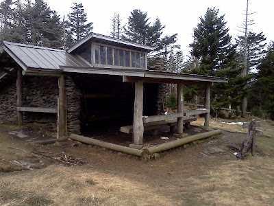
| This is a shelter provided by the park service |
 |
| Hang everything to keep the bears out. |
 |
| According to my GPS this is the summit. |
 |
| The reason they call them the Smokies. |
The total distance of the hike was about 13.5 miles, and I had tired feet since I hiked to Clingmans Dome just a couple days before, which totaled 17 miles. The combination of tired feet and some tricky places caused me to fall in a couple of places. You must use extreme caution on this trail. Fortunately, I feel in the right places, although, I was still beat up by the time I finished.


